🗺️
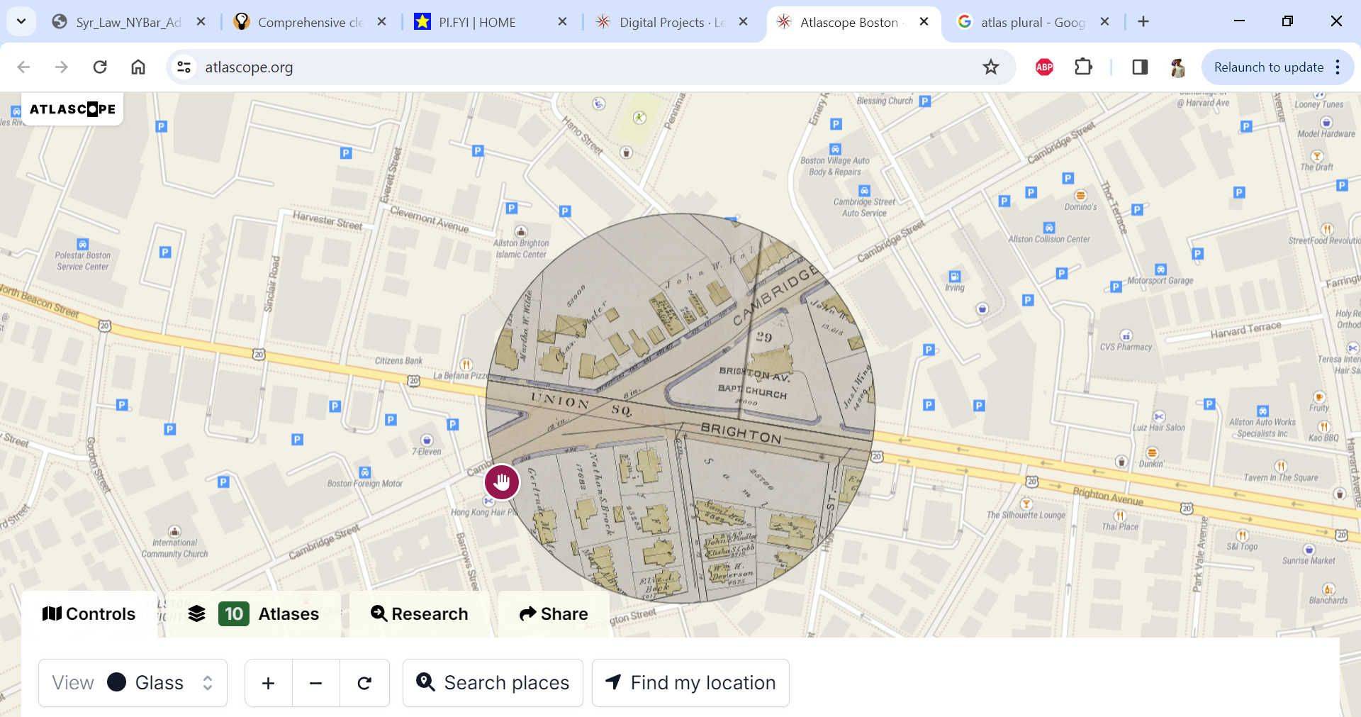
Really interesting website that overlays historic atlases on modern maps of Boston. Some things I learned today:
- My house is on land formerly owned by a man named "Henry B. Goodenough"- hilarious puritan name (the tow lot near me is on Goodenough street- I hope you've never had the misfortune of going there)
- The fire station at the corner of Brighton and Cambridge is on the site of a baptist church (see picture)
- Comm ave used to not go past washington street... extended between 1882 and 1885
- A lot of Boston University is built on what used to be a river island
Idk how interesting it is for non-boston locals, but it's fun to mess around with.
Apr 3, 2024
Comments
Make an account to reply.Related Recs
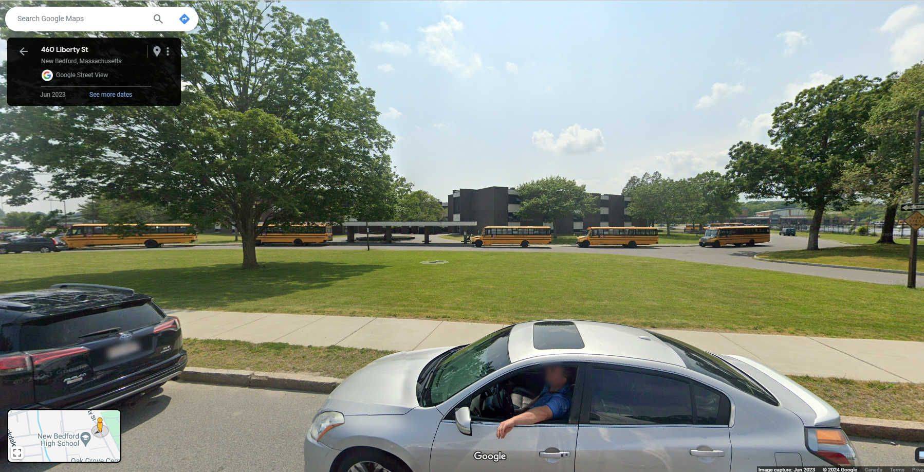
nothing better than plucking up that little yellow guy and getting a view from the streets.
for instance, i've never been to New Bedford High School but it seems chill
Mar 3, 2024
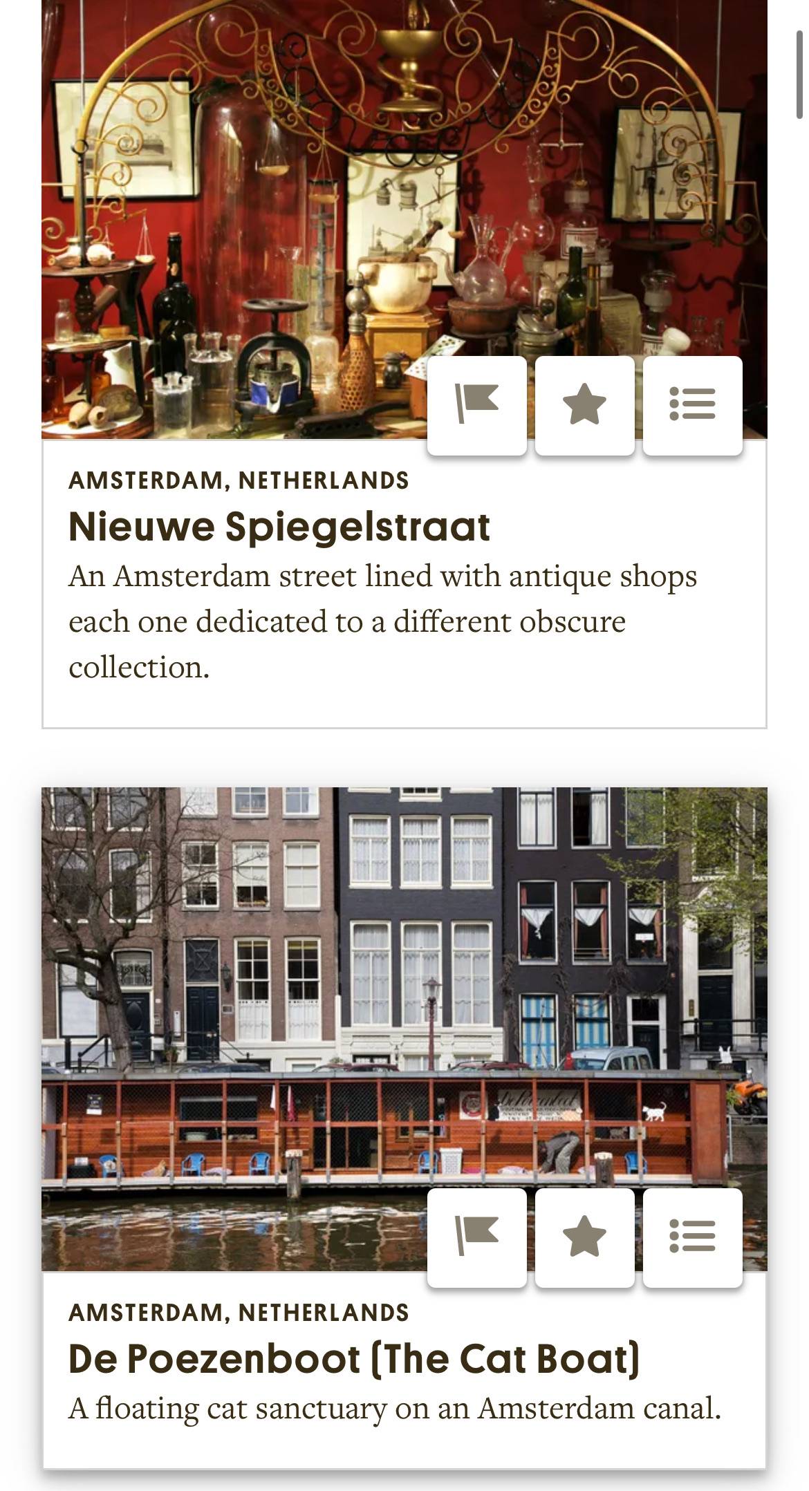
When going travelling look up the city ur going on Atlas Obscura!!!
this website recommends u unusual attractions for most cities and its very nice to find some weird oddities to visit: examples for Amsterdam,
i LOVE this website bc i love seeing weird and cool stuff on trips
Mar 18, 2025
🌎
Counter cartography is a way to dispute the conventional orders that dictate the way we relate and understand the world, by reframing the reprasentation of physical space.
I highly recommend interactive maps hosted online as learning and research devices.
queering the map - a collaborative map that features de experience of queer people around the world
native land digital - interactive map that showcases indigenous territories and languages around the world
global atlas of environmental justice - interactive map that highlights environmental disasters that took place around the world
forensic architecture - a Goldsmiths research group that programmes interactive critical maps
ebook this is not an atlas - introductory guide to the concept of counter cartography featuring a series of cases studies that employ the method in community work
Jan 15, 2025
Top Recs from @brendog
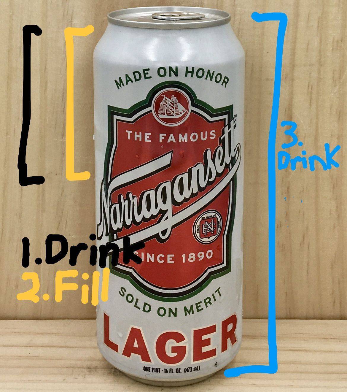
Great for summer
Drink half of the can
Fill to top with lemonade
Drink the rest
(they also make a pre-packaged shandy but i don’t like it that much. better to DIY)
Jan 25, 2024
💌
Ok Stephen Shaw of Boston property group LLC you think we’re gonna pay 18 months of backcharged water bills when you never even billed us for it? Lol i’m laughinggg. Read mass gen laws ch. 186 section 22(k) and get back to me on that 👍
Feb 22, 2024
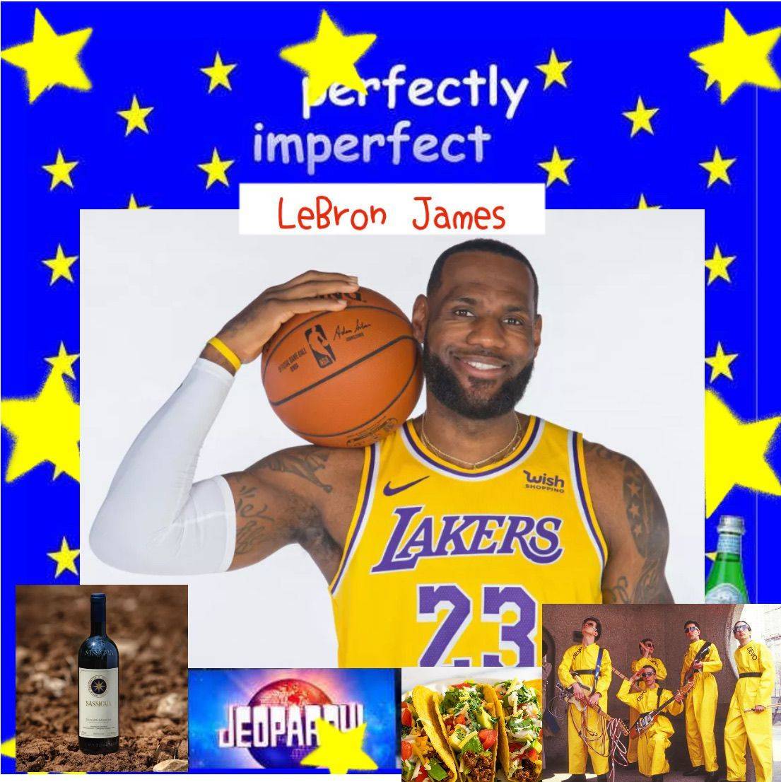
Can’t hurt to reach out. imagine Bron talking about his favorite winessss
Pic is what it might look like if Bron was on here
Mar 21, 2024